Deep Compaction Persistence in Canadian Prairie Soils
Multi-year monitoring data reveals that soil compaction from heavy equipment persists significantly longer than commonly assumed, with implications for reclamation timeline setting...
Evidence-based analysis of land change patterns, recovery processes, and sustainable terrain management strategies
Technical documentation and analytical insights from our terrain impact research.
Multi-year monitoring data reveals that soil compaction from heavy equipment persists significantly longer than commonly assumed, with implications for reclamation timeline setting...
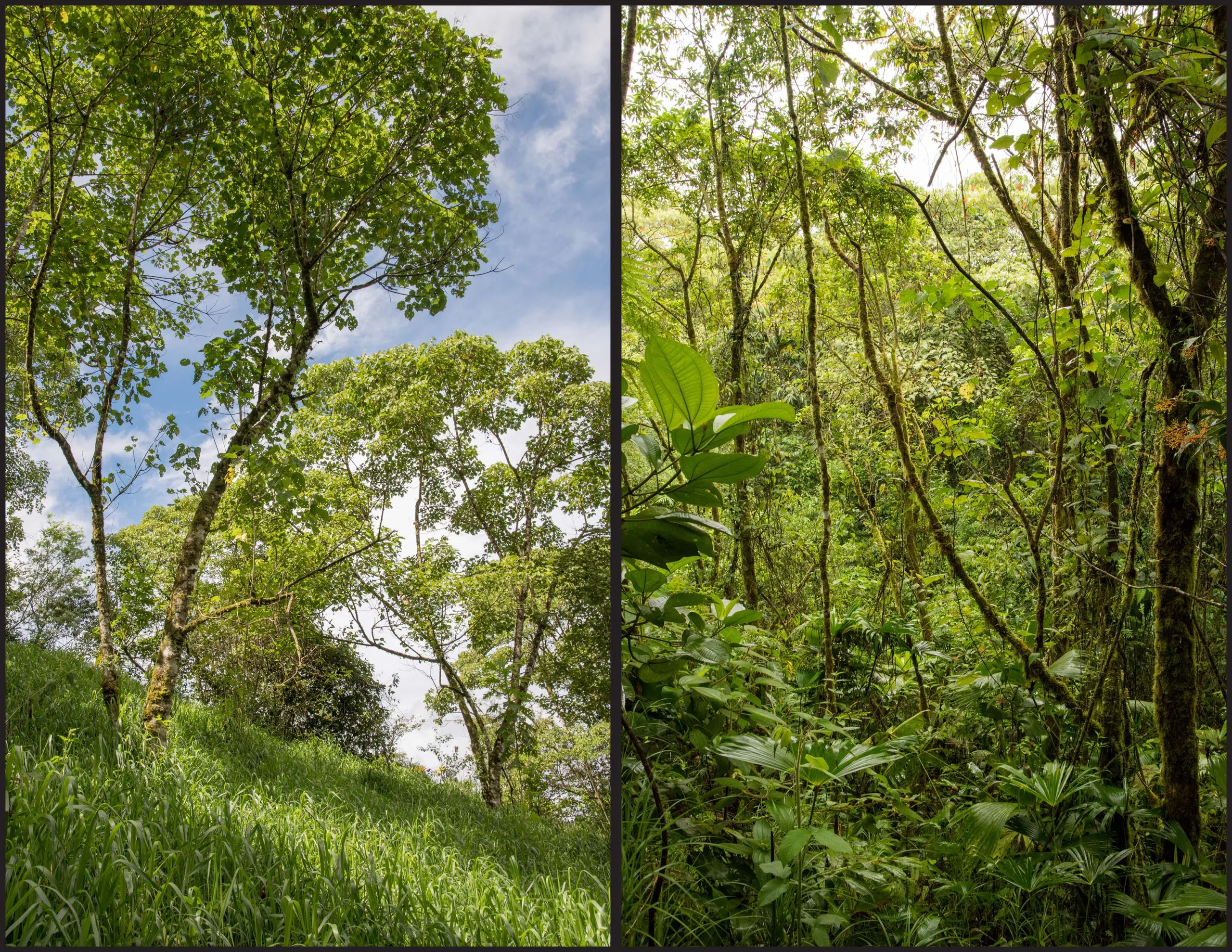
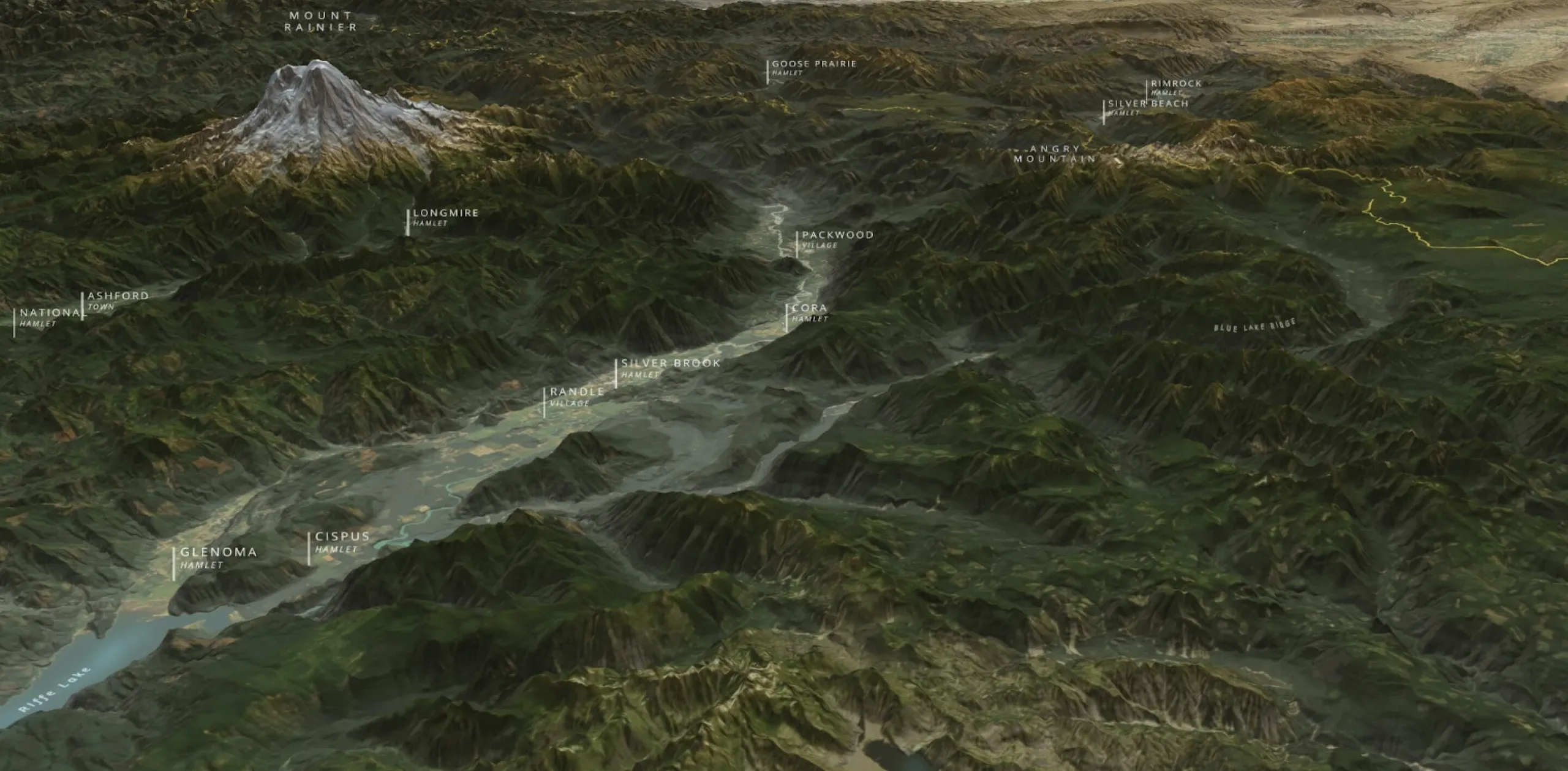
Comparative analysis of passive recovery shows vegetation return rates vary by soil type and climate zone, with boreal regions requiring 8-15 years for 50% coverage restoration...
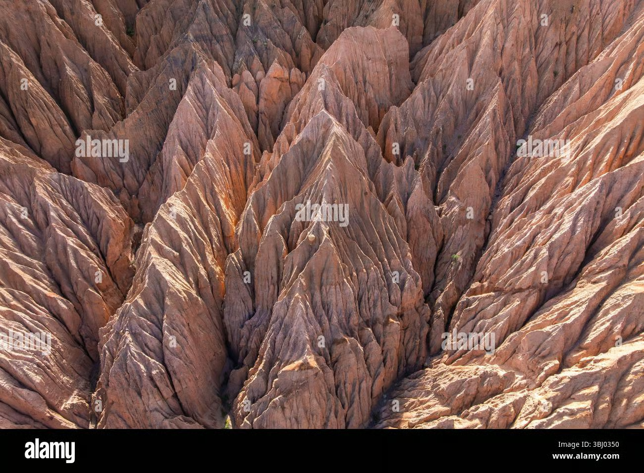
Documentation of how concentrated water flow creates persistent erosion features, with predictive models for assessing which disturbed zones face highest degradation risk...
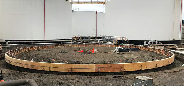
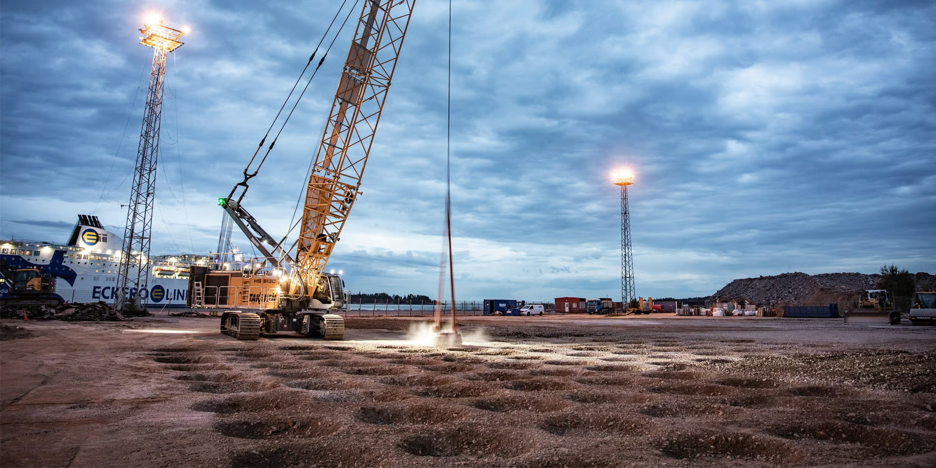
Analysis of settlement patterns beneath fuel storage installations shows differential movement correlates with disturbance history and consolidation period duration...
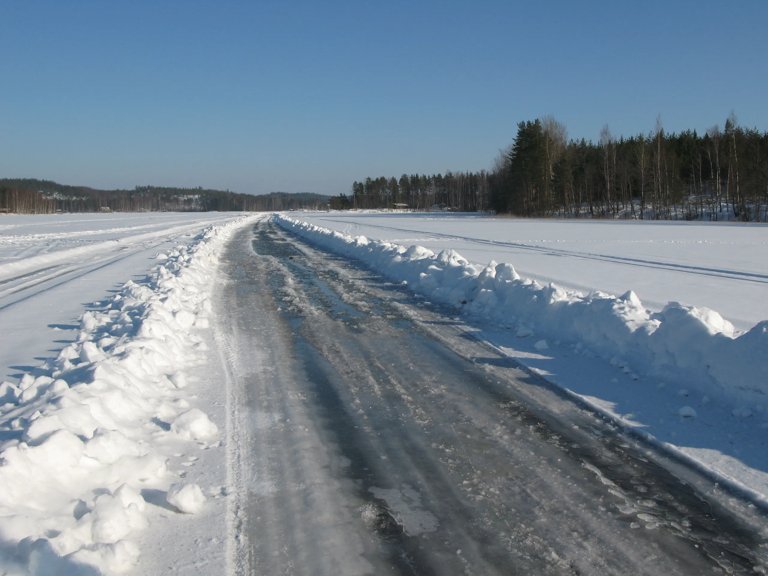
Evaluation of frozen-ground operations demonstrates significant reduction in persistent surface marking when proper timing and snow cover conditions are maintained...
Comparative review of satellite imagery resolutions and spectral bands reveals optimal combinations for documenting different disturbance types and intensity levels...
Long-term monitoring sites across multiple terrain types document actual recovery rates for soil structure improvement, vegetation re-establishment, and erosion stabilization. Understanding these timelines enables realistic reclamation target setting and adaptive management strategy development.
Evaluating how different operational approaches, equipment types, and timing decisions influence terrain impact extent and severity. Evidence-based comparisons support selection of practices that achieve operational objectives while minimizing unnecessary surface disturbance.
Investigating how Canadian soil types respond to compaction, mixing, and erosion forces under various moisture and temperature conditions. Understanding soil-specific behavior improves prediction accuracy and informs site-specific management approaches.
Documenting how vegetation communities, wildlife habitat values, and hydrological functions change following disturbance and through recovery phases. Ecosystem-level understanding guides protection priorities and reclamation strategy selection.
Specialized research topics contributing to comprehensive terrain impact understanding.
Documenting how soil horizon mixing affects nutrient cycling, water retention, and biological activity—with implications for vegetation recovery potential and reclamation technique selection.
Analyzing how altered soil structure and moisture patterns in disturbed zones change frost penetration, heave susceptibility, and seasonal bearing capacity variations.
Quantifying operational footprint sizes across different site types and configurations, documenting relationships between operational requirements and actual surface impact extent.
Developing predictive models for erosion risk based on slope, soil type, vegetation loss, and drainage patterns—enabling proactive protection of high-risk zones.
Correlating vehicle type, frequency, and timing with compaction depth and vegetation damage—informing traffic management strategies that reduce impact intensity.
Evaluating success rates of different reclamation techniques under varying site conditions—identifying which approaches deliver cost-effective results in specific circumstances.
Documentation of soil sampling protocols, compaction measurement techniques, vegetation survey methods, and quality control procedures ensuring data consistency across sites and time periods.
Technical notes on imagery selection criteria, atmospheric correction procedures, change detection algorithms, and accuracy assessment methods for operational footprint mapping.
Explanation of analytical methods for comparing recovery rates, testing impact prediction models, and determining statistical significance in comparative impact studies.
Description of permanent monitoring site establishment, repeat measurement scheduling, benchmark stability verification, and documentation standards for multi-year studies.
Research insights translate into practical guidance for site planners, environmental managers, and operations personnel. Understanding actual impact patterns, realistic recovery timelines, and effective mitigation approaches enables decisions grounded in evidence rather than assumptions.
Comparative analysis reveals which operational approaches deliver required outcomes with reduced terrain impact—supporting continuous improvement in environmental performance.
Monitoring data documenting actual versus predicted impacts and recovery progress enables adaptive adjustment of management strategies. When observed conditions differ from expectations, management approaches can be modified based on documented performance.
Long-term datasets build institutional knowledge of terrain response patterns across varying conditions—improving prediction accuracy and decision quality over time.
Contact us to discuss how our research findings can inform your terrain management and environmental stewardship initiatives.